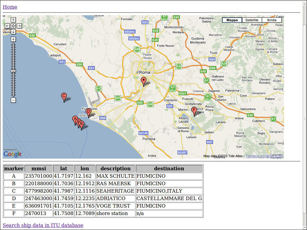
| #!/usr/bin/perl # gnuias_display - a CGI to plot data from GnuAIS # (c) 2010 Stefano Sinagra IZ0MJE # released under GNU/GPL v3 license use CGI qw/:standard -nosticky/; use DBI; use DateTime; use HTML::GoogleMaps; ### change settings in this block # db settings $dbname='DBI:mysql:<database name>:<host>'; $dbuser='<db user>'; $dbpass='<db password>'; # Google Maps settings $map_key="<Google maps API key>"; # home station coordinates $home_long=<your home longitude>; $home_lat=<your home latitude>; # db connection $dbh = DBI->connect($dbname,$dbuser,$dbpass) or die DBI->errstr; $sth = $dbh->prepare('(select mmsi, latitude, longitude, name, destination, ais_position.time from ais_position left join ais_vesseldata using (mmsi) order by ais_position.time desc) union (select mmsi, latitude, longitude, "shore station", "n/a", null from ais_basestation);') or die "Couldn't prepare statement: " . $dbh->errstr; ### map embedding $map = HTML::GoogleMaps->new( key => $map_key, height =>480, width =>940); $map->controls(large_map_control, map_type_control); $map->v2_zoom(10); $map->center( [$home_long,$home_lat] ); $map->add_marker(point => [$home_long,$home_lat],html => "basestation", noformat => 1 ); $sth->execute(); $marker = 65; while (@data = $sth->fetchrow_array()) { $char = chr($marker); $marker++; if ($data[4] eq "") { $data[4]="unknown"; } if ($data[3] eq "shore station") { $popup = "$data[0] $data[3]"; } else { $popup = "$data[0] $data[3] dest. $data[4]";} $map->add_marker(point => [$data[2],$data[1]], html => $popup, noformat => 1, icon => $char ) }; my ($head, $map_div) = $map->onload_render; ### print header, start_html('AIS'), h1('AIS monitoring'), '<body onload="html_googlemaps_initialize()">', hr; print; print $map_div; print $head; print hr; $sth->execute(); # Read the matching records and print them out print "<table border=1>"; print "<tr BGCOLOR='#C0C0C0'><th>marker</th><th>mmsi</th><th>lat</th><th>lon</th><th>description</th><th>destination</th></tr>"; $marker = 65; while (@data = $sth->fetchrow_array()) { $char = chr($marker); $marker++; print "<tr><td align=center>", $char , "</td><td>", $data[0],"</td><td>", $data[1], "</td><td>", $data[2], "</td><td>", $data[3], "</td><td>", $data[4], "</td></tr>";} print "</table>"; $sth->finish; $dbh->disconnect; print "<p><a href=http://www.itu.int/online/mms/mars/ship_search.sh target='_blank'>Search ship data in ITU database</a>"; |
Contact:
Published: 21Nov10 - Home